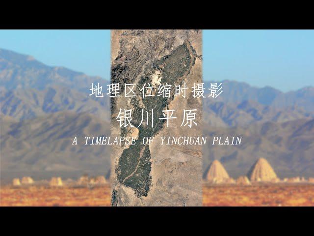
Geographical Timelapse of Yinchuan Plain feat. Qingtong Gorge and Minning Town
Satellite images of Yinchuan Plain and its surrounding areas since 1984.
Yinchuan Plain is located in the north-central part of Ningxia. The Yellow River runs through from south to north. Irrigated agriculture is developed, and it is known as "southern type of scene in the northern frontier".
Qingtongxia is the last gorge on the upper reaches of the Yellow River. There is Qingtongxia Reservoir, which is used for irrigation and power generation.
Minning Town belongs to Yongning County of Yinchuan City. It is a key area of Fujian Province’s counterpart assistance to Ningxia. It is an ecological immigration area. Most of the residents are Diaozhuang immigrants (A family went out with one labor force or two to open up wasteland for planting and build a simple and temporary home, so that one family lives in two places, villagers register in two places) from poor mountainous areas.
银川平原及其附近地区,自1984年来的卫星图像。
银川平原位于宁夏中北部,黄河由南至北贯穿,灌溉农业发达,有“塞上江南”之称。
青铜峡是黄河上游的最后一道峡谷,有青铜峡水库,起灌溉、发电之用。
闽宁镇属银川市永宁县,是福建省对口帮扶宁夏的重点区域,是生态移民区,居民大多是山区贫困地区搬迁而来的吊庄移民。
Комментарии:
I Found The BEST Quality Affordable Luxury Bag
Handbagholic
12월마지막주 . 타입별영상있음참고. 래미안라그란데 전월세빠른상담가능
이문휘경뉴타운전문 114부동산
붕어낚시 강화도 이강리수로 부들밭속 대물빼기~
찔레꽂 낚시TV
남산이 한눈에 보이는 이태원 고급빌라 코번하우스 남산분양 ( KOVERN HAUS )
REAL ESTATE COMPANY HIGHBLEM
Ayodhyaનો અદભૂત નજારો | Gujarat First
Gujarat First
Reparación Videoportero - Abrepuertas Electronico Tecnico Barcelona
Tecnicalman Telecomunicaciones (Servicio Tecnico)


![[Any의114부동산] #168 무안군 청계면 바다가보이는 2층 전원주택 매매, 팬션가능 [Any의114부동산] #168 무안군 청계면 바다가보이는 2층 전원주택 매매, 팬션가능](https://rtube.cc/img/upload/a3dCamFsV1JPS24.jpg)


