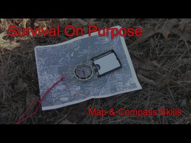
Using a Map and Compass on a Hike - Map and Compass Skills - Video 4
Комментарии:

'mornin, Bryan; Another Top-Notch M&C installment.Very useful headings.Thanks again 4 taking the time 2 make & share this info.with us.Sure hoping the storm has passed by U By now. From The Maritimes In Canada. A.T.B. Terry
" GOD BLESS "

great series, it really offers a good refresher course on the skills I used to have
Ответить
Very informative. Thank you for my new skill
Ответить
Great info. Thanks for sharing.
Ответить
I loved the series, Brian. Great job.
Ответить
Great video, very helpful.
Ответить
hey ,,,, what is the mirrow used for, how come you didn't use it to take a sighting?????that is what the mirrow is there for. the line down the middle should give you a clue
Ответить
excellent information sir !
Ответить
Wonderful teaching video, thanks!
One question: where can I go, online, to get the free maps?

thanks for the effort put on this video, i found it useful (hiker from Argentina)
Ответить
Have been trying to understand Land Nav. for some time. Thanks it was a good video and helped me get a basic understanding. I need to learn much more but this sure was a good start. thanks Dave
Ответить
Brian, your series on compass info is superb! In fact I have the same compass as the one you're using on the hike. I have one question, the unit has a small black clip that's about 1/2 inch in diameter and slotted. What is its use and where does it belong? Thanks in advance! Craig in Shoreline, WA
Ответить
another great video
Ответить
Hi Brian , great video Iam trying to learn to use a map & compass so this is very helpful thanks . Atb Martin
Ответить
You don't have to orient the map in order to triangulate. Just get your bearing, place edge of the compass at landmark, then turn the whole compass until the meridian lines on compass line up with the lines on the map. Then draw your line.
Ответить
Thanks for making this video. I've wondered how to find my position on a map, but so many videos and books I've read only cover how to navigate from an already known position. The problem is; I usually don't know where I am if I'm in a new area :P
Ответить
thank you for this Brian... this is so far the easiest video to understand regarding triangulation and declination :)
Ответить
Thank you Brian! great video ... full of practical info!
Ответить
Quick question to clarify something for me...
If my magnetic declination is 8° EAST, when I manually adjust the declination on my compass (Suunto MC-2G USGS), as I'm facing the bottom of the base plate, do I swing the black needle so that the tick mark is to the right of zero (East)? Or do I swing it to the left (West) of zero so that the red arrow (Dog House) swings back to the East of zero?

Thanks for the great video series. Very easy to understand. I live in Louisiana where it's very flat and there's not really easily recognizable landmarks with which to triangulate. Will you be adding to the series how to use time or steps or ranger beads to help with this and with distance traveled?
Ответить
Extremely great video thank you
Ответить
i like this video and such a beautiful sight! But I also one have question. I have a Silva Expedition S Compass, what is very similar to your Suunto. I looking after in videos etc but I still don"t know how to use the Clinometer in it. Can you tell me?
Ответить
Thank you Mr. Bryan. This video really helped me understand. I looked at two other channels on this subject and barely understood. You taught me a lot just now. Thank you sir.
Ответить
Thanks for all the work you put into that. I learned something new.
Ответить
nice video, BUT two errors, calculation of declination and triangulation.
- it is rare to get a topo map hot off the press, meaning GETTING and USING a map that was published the same year. You must add or subtract the deviation by the number of years that have lapsed. if map is 5 years old, you must multiply by 5 by the amount that it changes every year. the amount of change is found in the margin or the bottom of the map.
- triangulation, you where bisecting not triangulating. bisecting is shooting 2 bearings, triangulating is shooting 3 bearings, 3 bearing much more accurate.
All in all well demonstrated video

the magnetic deviation on the map is not "4.29 degrees," it is 4 degrees and 29 minutes which is 4.48 degrees.
Ответить
we called it intersection (and re-section in reverse). Good video....great way to practice....
Ответить
shamu land surveying in bangladesh
Ответить
👍👍 shared to my Facebook and added to a public playlist.
Ответить
I ordered a Ueasy Compass a sort of Lensatic compass I have it now but I dont have alot of faith in it. As when I got it it was pointing in the right direction tonight its not. So Idk but your videos are helpful there is alot to learn for land navigation.
Ответить
I see on the map there is a variance between true north and grid north (GN). Should I include the 1degree 22' variance in addition to the 4 degree 29' variance, in my declination adjustments, when working with this map?
Ответить
I live in Marietta. Good video!
Ответить
Mano, i can’t understand what you’re saying—you’re slurring and talking too fast.
Ответить
The most confusing i have ever seen anywhere at any time any place.
Ответить
where can I buy those maps
Ответить
Thank you sir, for your effort and dedication in teaching us this subject. It is one of the best i ever seen with real life example linking to the theory.
Ответить
Sorry Brian... when you mentioned 4.29 degrees in discussing Declination you were wrong. 4 degrees 29 minutes does NOT equal 4.29 degrees. It is closer to 4.5 degrees. You are confusing the "minutes" with decimal parts of a degree. Let's get it right please.
Ответить
Very helpful and interesting.
Ответить
..On that Suunto MC-2, just dial in the declination on the bottom of the compass; that's what it's there for. "Set it and forget it!"
Ответить
I hiked this trail back in 1972 with my Boy Scout troop!
Ответить


